|
Panamatraveltips
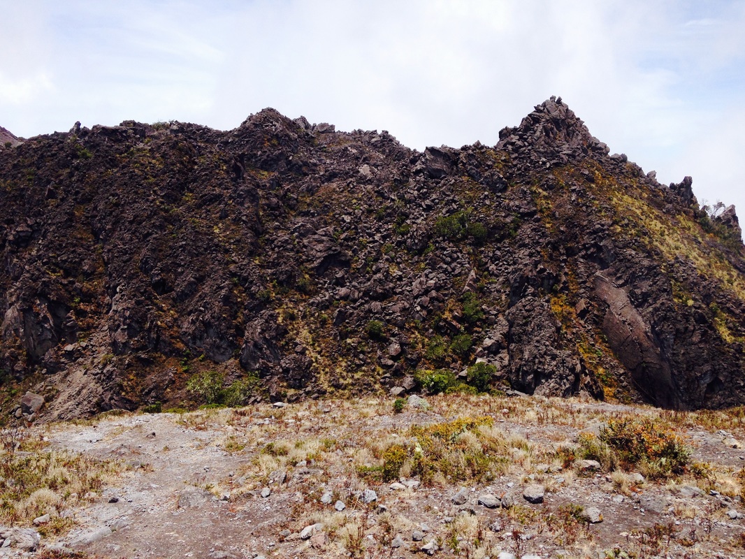
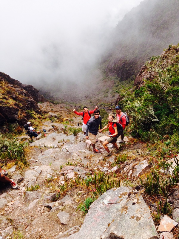
 To summit Panamá’s highest peak, you can hike the longer (but easier) Vía Camiseta or the more challenging (but shorter) Los Llanos trail. If you want to see both “sides” of the Volcano, you could hike up one trail and down the other. Hiking the Volcán is challenging but rewarding! Be prepared for the altitude (the peak is approximately 3,474m above sea level) as well as sudden changes in climate/temperature. Have a raincoat and a thermal layer on hand! Vía Camiseta The trailhead is a short taxi drive away from Boquete. At the ranger station, you’ll most likely be asked to sign-in and pay the entry fee (US$3 for locals and a few dollars more for foreigners). Make sure you bring cash! The 13.5km uphill hike is clearly marked and the trail is well defined. Most people take about six or seven hours to reach the summit. If you’re not up for hiking, several operators offer tours to the peak in specially outfitted off-road vehicles. If you’re looking for a true nature experience, fear not! You may see a car or two on your hike, but few travelers opt for the car route. A number of people choose to begin hiking Vía Camiseta at midnight in order to experience sunrise at the peak. The probability of seeing both the Atlantic and Pacific oceans is also higher in the early morning. If you decide to hike overnight, be prepared for the cold! Also, bring a very good headlamp with you as the trail has many rocks that are easy to trip on. Once you finish the hike, you’ll need to get from the rangers station to Boquete (several miles away). If you haven’t arranged for transport, your best bet is probably hiking down the road a bit in search of a taxi or bus (there’s a stop (unmarked) approximately 100m from the trailhead but service can be sporadic). Sendero Los Llanos The Los Llanos (the plains) trail begins outside the town of Volcán. At the moment, there is still no ranger station although plans to build one are underway. If you are hiking Los Llanos for the first time, it is best to go with a guide. Unlike Vía Camiseta, there are several places where the trail is not well marked, making it relatively easy to get lost. Park rangers have had to carry out more than one rescue mission in the area. From the start of the trail, you can appreciate the impact past eruptions have had on the landscape. After walking through an open plain, you’ll enter a stretch of forest for what feels like a traditional Maine-style hike before emerging on a "bowl" filled with black volcanic sand. At this point, the trail becomes quite challenging given the lack of traction and the slight “sink” you’ll experience with each step. The positive is that you’ll be able to see far ahead of you and you won’t forget that you are hiking up a volcano (very cool!). Nevertheless, the trail has a steep incline and is not for everyone. The hike down is especially difficult for the timid hiker given the lack of traction. The Los Llanos trail is 7.45km long but it can still easily take six or seven hours to reach the summit. Let us know if you have any questions! Happy Hiking!
1 Comment
|
Archives
May 2024
Categories
All
|

 RSS Feed